City of Shorewood Map
Background
This project began as a university initiative to design a functional prototype that would benefit a local community. The goal was to create an educational tool that fostered a sense of place and belonging for younger residents.
The Challenge
Learning city layouts and navigation can be abstract and difficult for children when relying on traditional 2D maps or digital screens. I needed to translate complex geographic data into a format that was intuitive, playful, and physically interactive.
The Solution
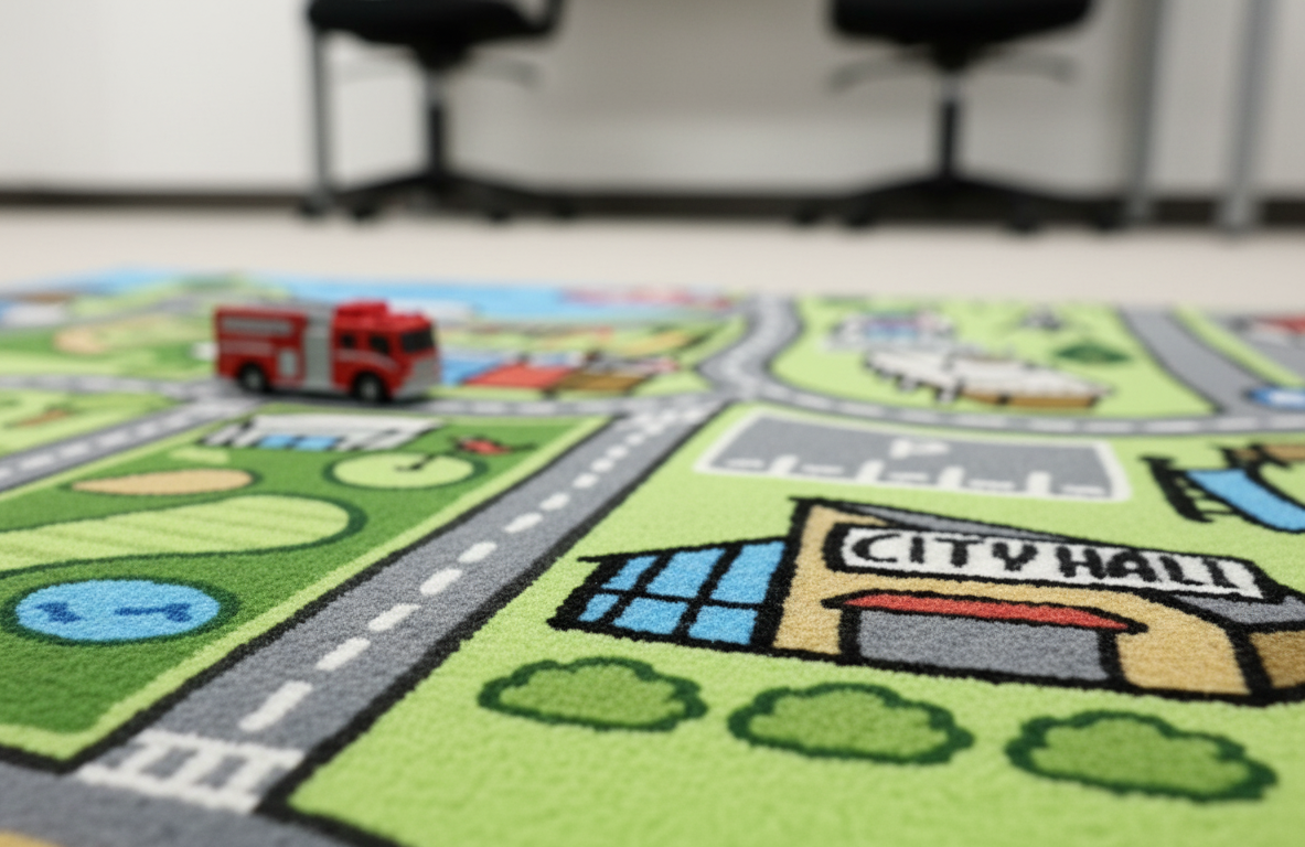
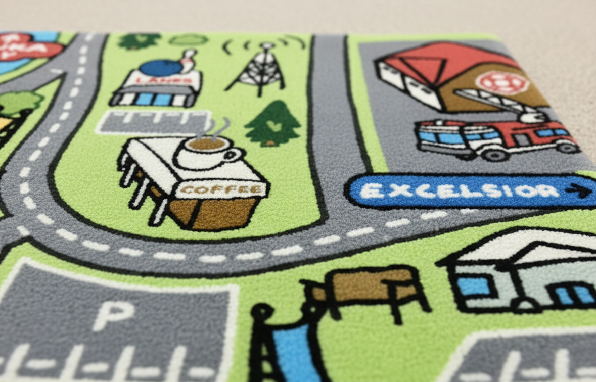
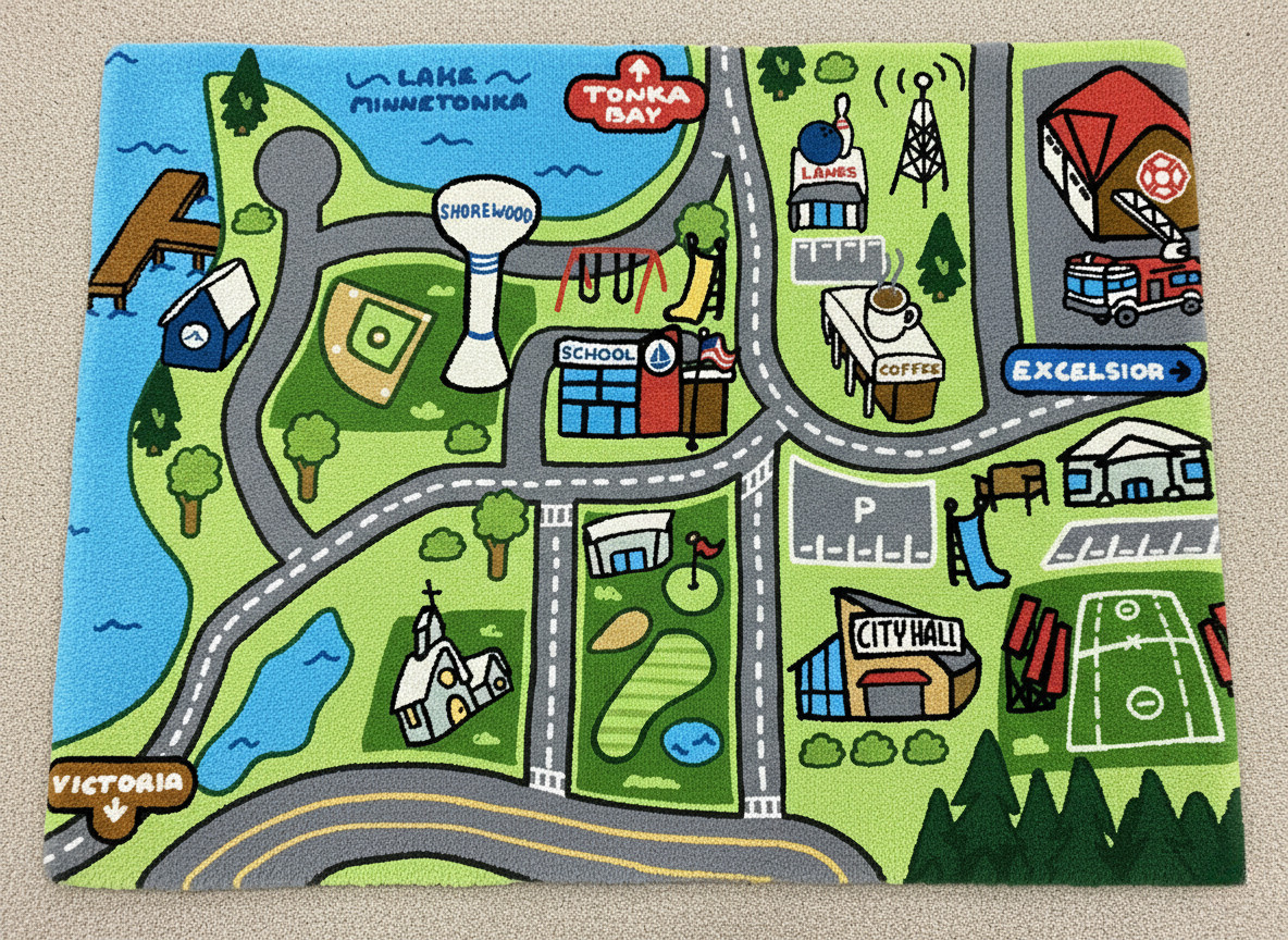
I developed a custom illustrated rug that functions as a large-scale play mat with a stylized yet accurate map of Shorewood. Key landmarks were illustrated with distinct icons and roads were designed wide enough for toy cars.
The Result
The final prototype effectively depicts Shorewood along with its real city landmarks and surrounding townships. It successfully bridges the gap between a toy and an educational resource.